Grand Canyon Day 1 Part 2
July 22nd, 2016
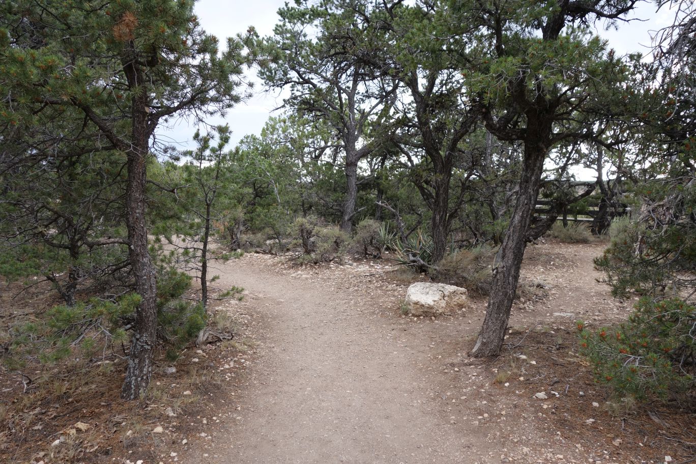
One of the guides at the visitor center told us of a ‘secret camping area’ because we were fellow Texans (she was from Dallas), so of course we had to check it out.
Pretty neat area. If you can’t find camping at either Mather or Desert View, you can camp here (for free), and not have folks around you. If we hadn’t already paid for DV for two nights, we might have moved here.
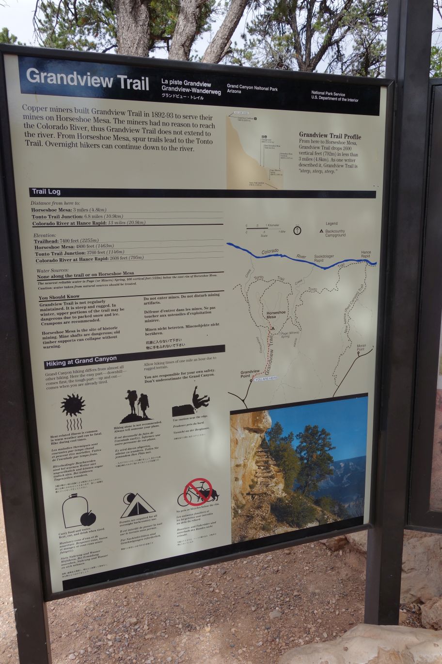
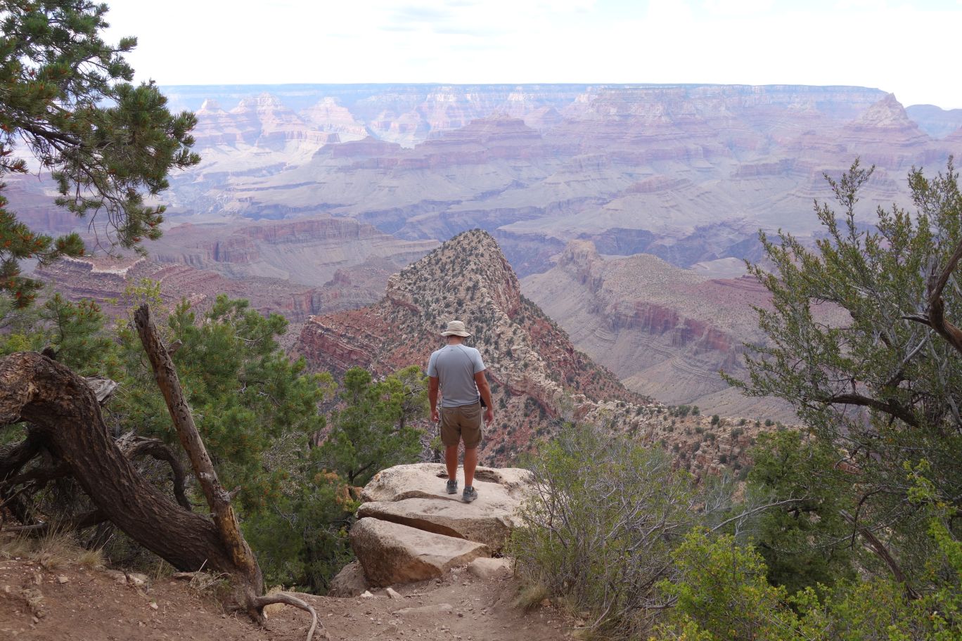
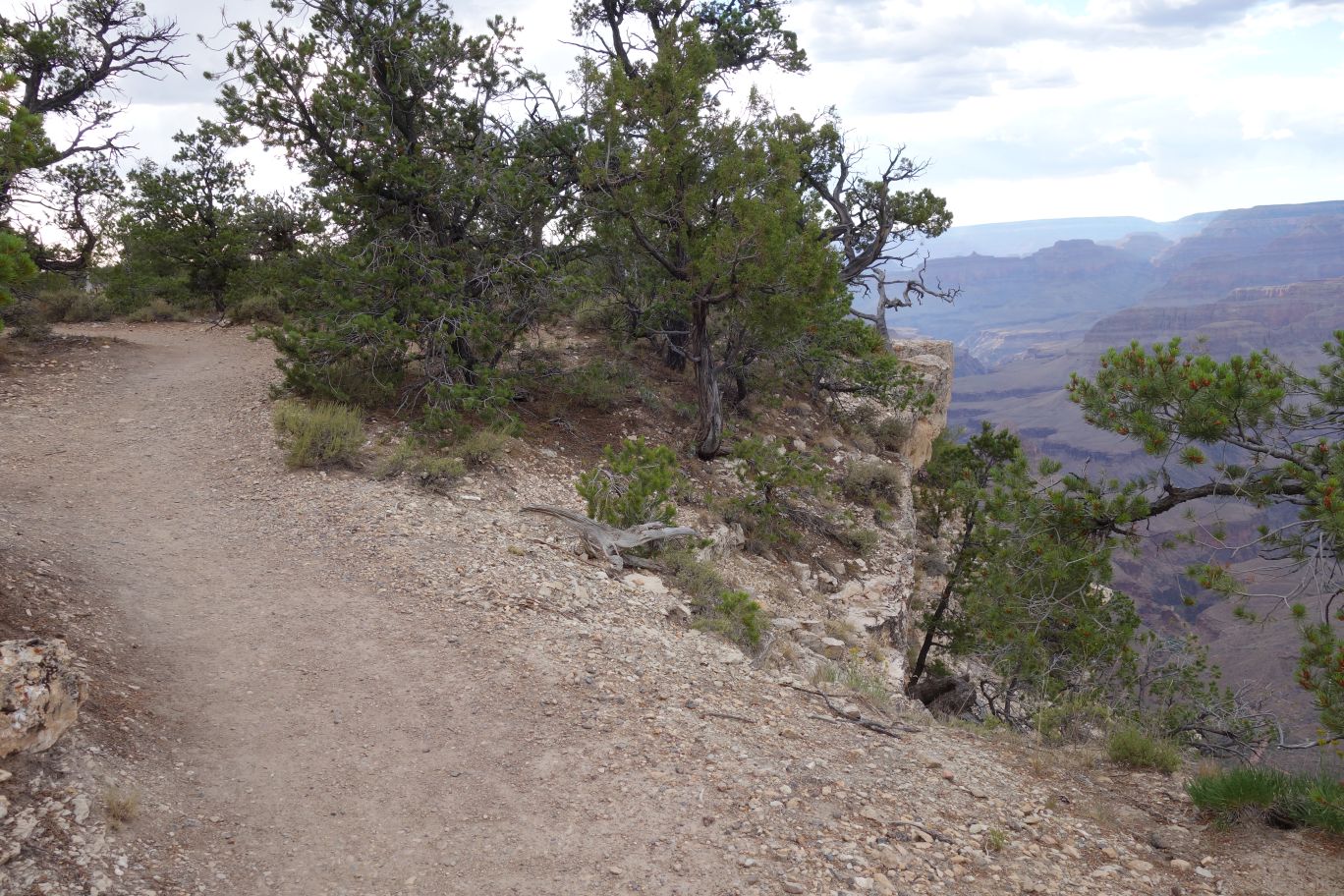
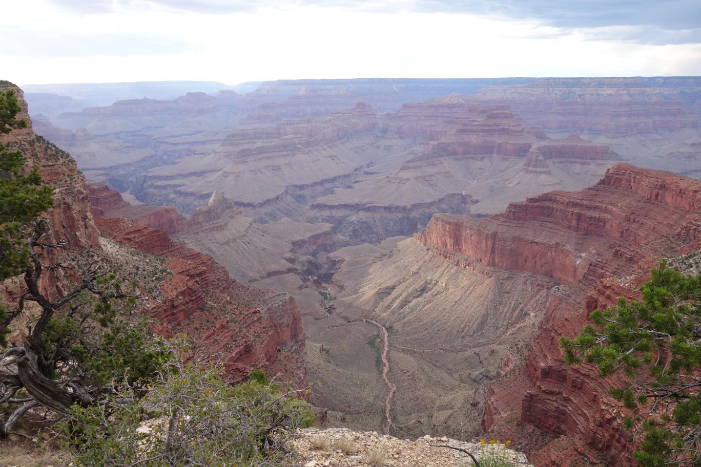
Time for more exploring the Grand Canyon though. This is the trail that will take you out to Horseshoe Bend. We considered it for hiking the next day – I’ve seen some really awesome views of Horseshoe Bend before and it’d be wonderful to see in person. We walked a little ways down, to get a feel for the trail – lots of steep switch backs. We talked with someone who had finished coming up and he said it was rough, but doable – but probably not in just a day. The temperature down in the canyon gets at least 10+ degrees hotter than the rim and a lot of people have trouble with coming back up the trail.
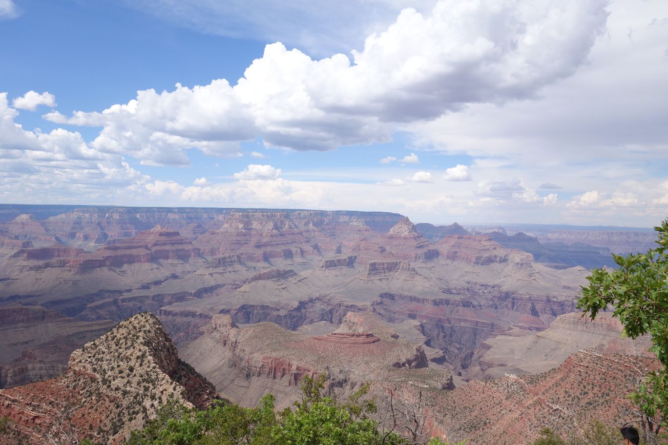
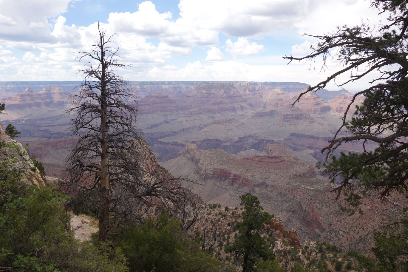
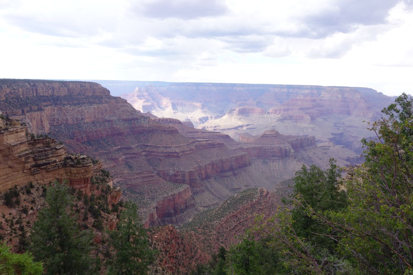
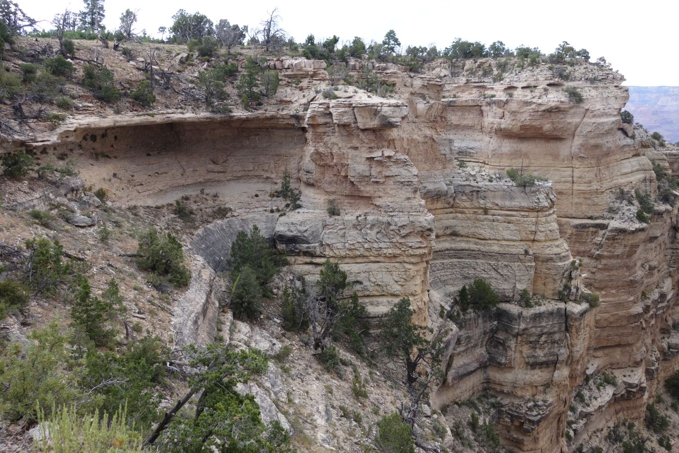
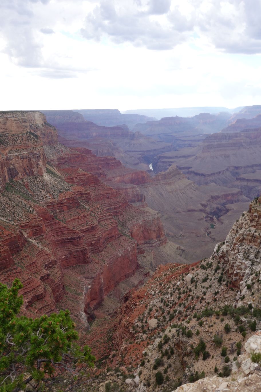
You can see the ‘horseshoe’ ridge in this picture, as well as part of the trail.
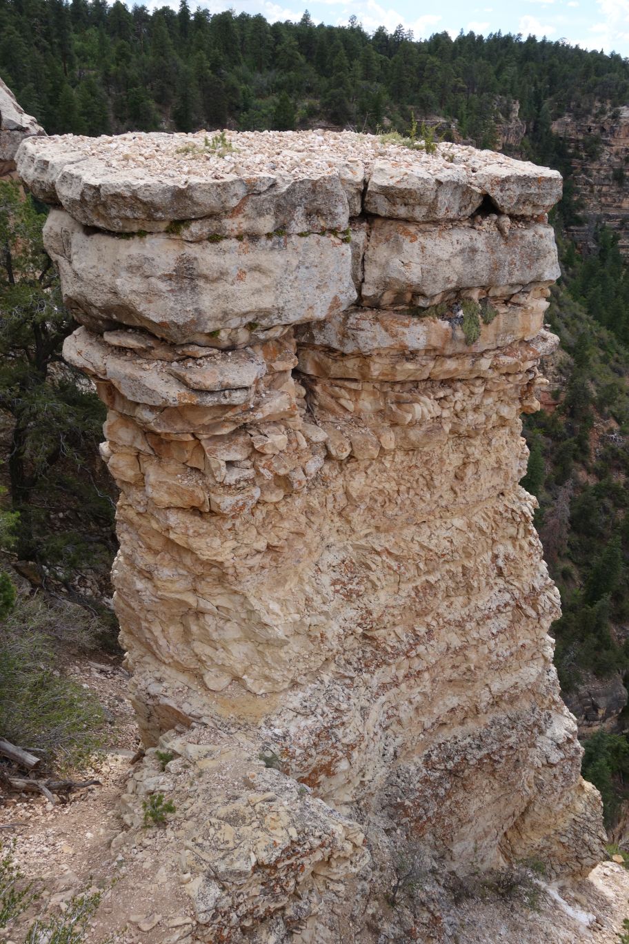
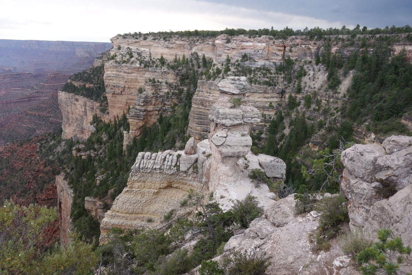
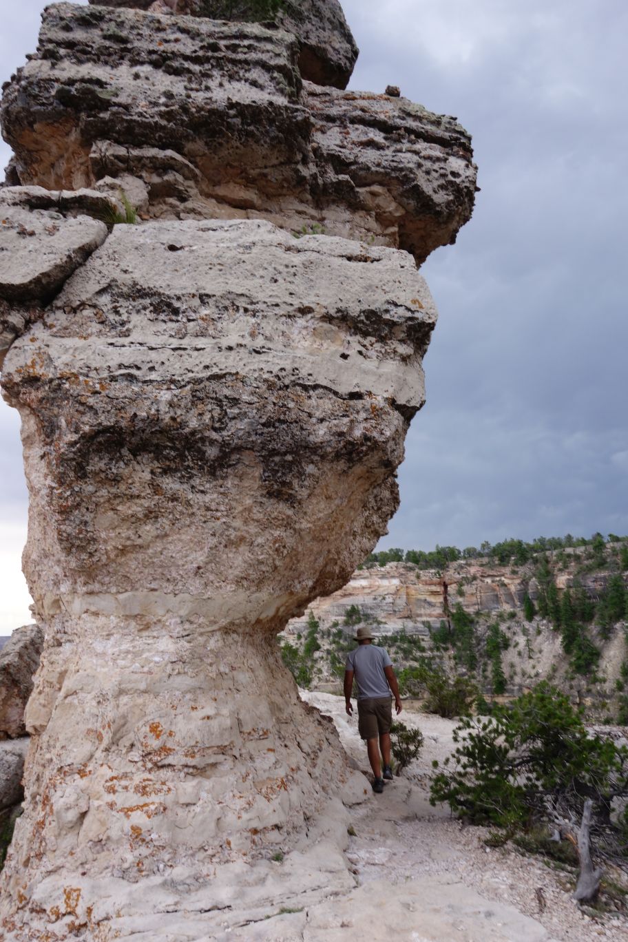
Perspective doesn’t get conveyed well in pictures. This is at least 20 feet tall – there’s probably not a good way for JA and I to get on top of that, dang it.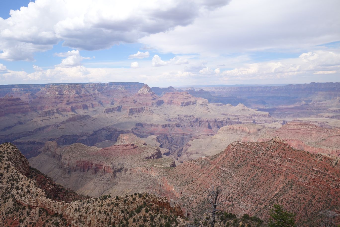 More Horseshoe.
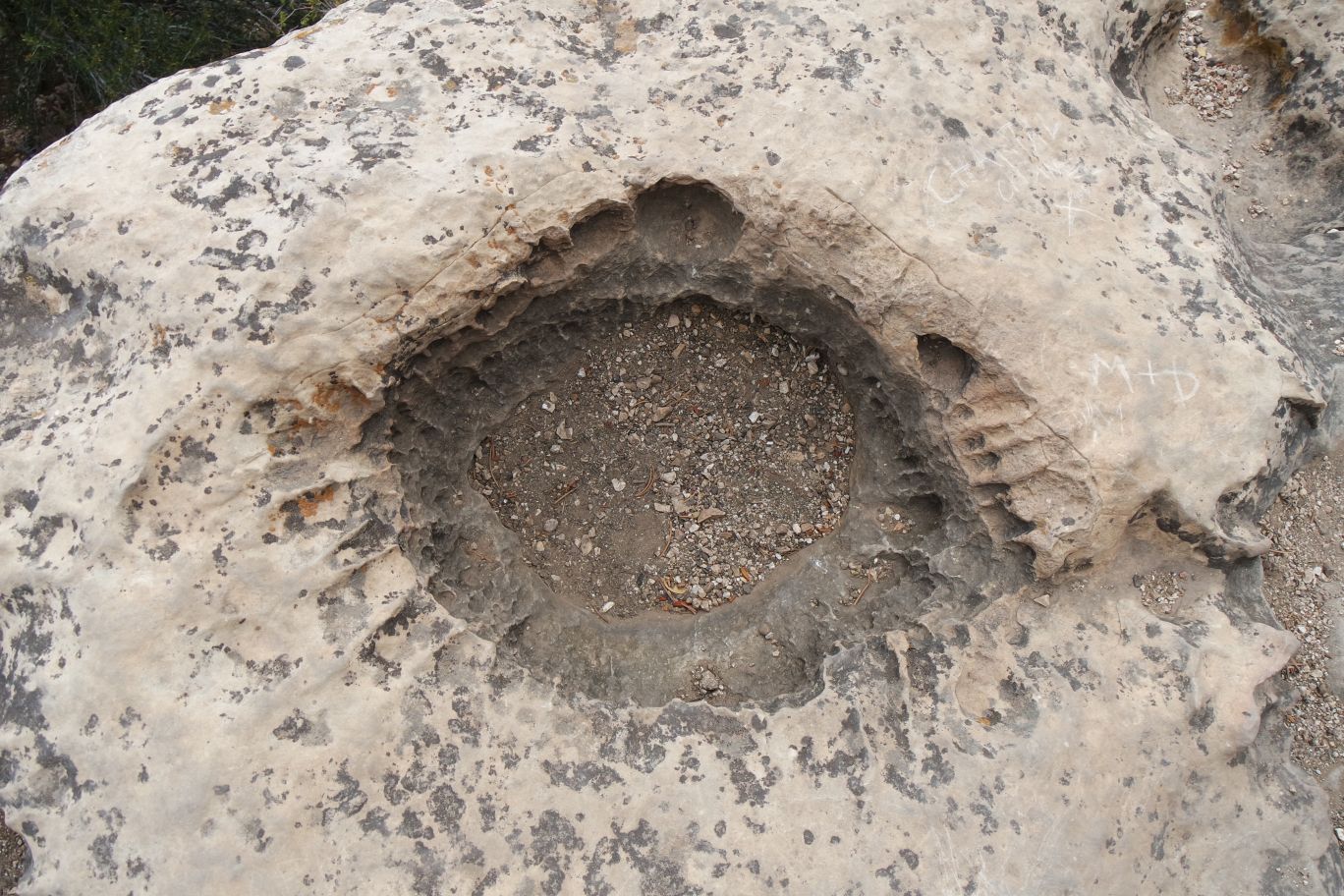
We saw these holes on a lot of the trails. We never did ask what they were from/for. Left over from dynamite, maybe?
JA looks.
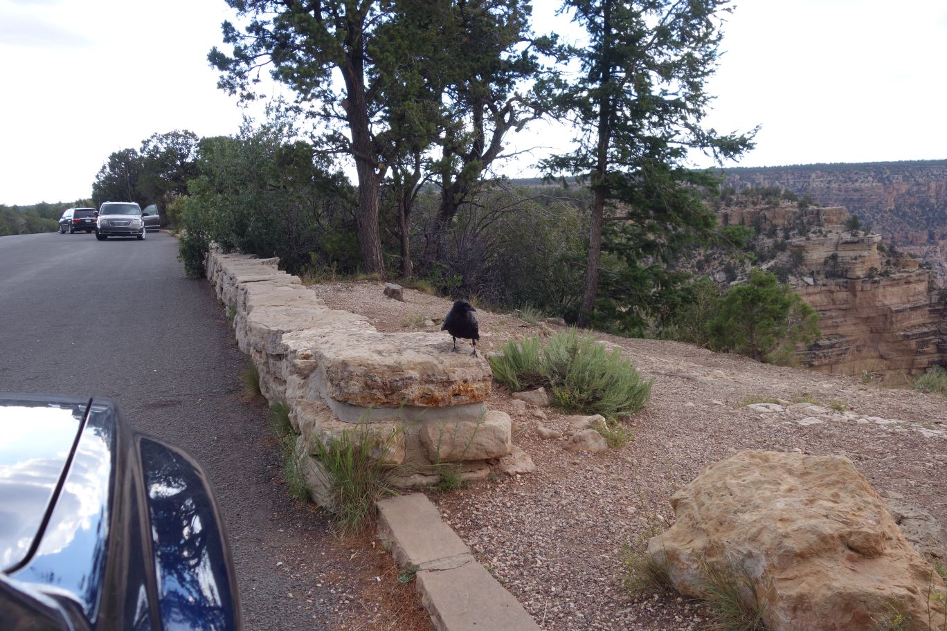
Here’s one of those overly friendly ravens. This guy was so tame, if I had any food in my hand, he might have hopped in the car.
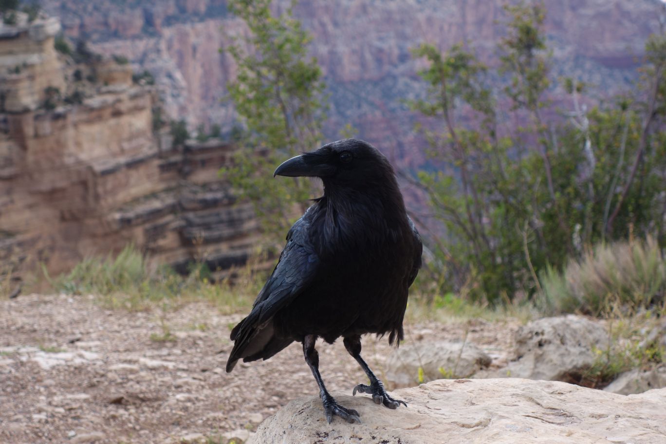
Posing for pictures.
“Say ‘nevermore’,” said Shadow. “Fuck you,” said the raven. (From American Gods)
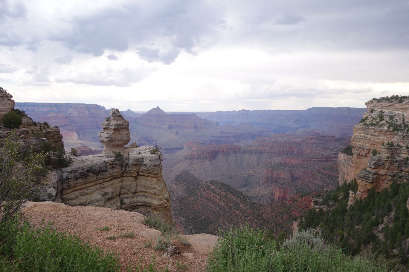
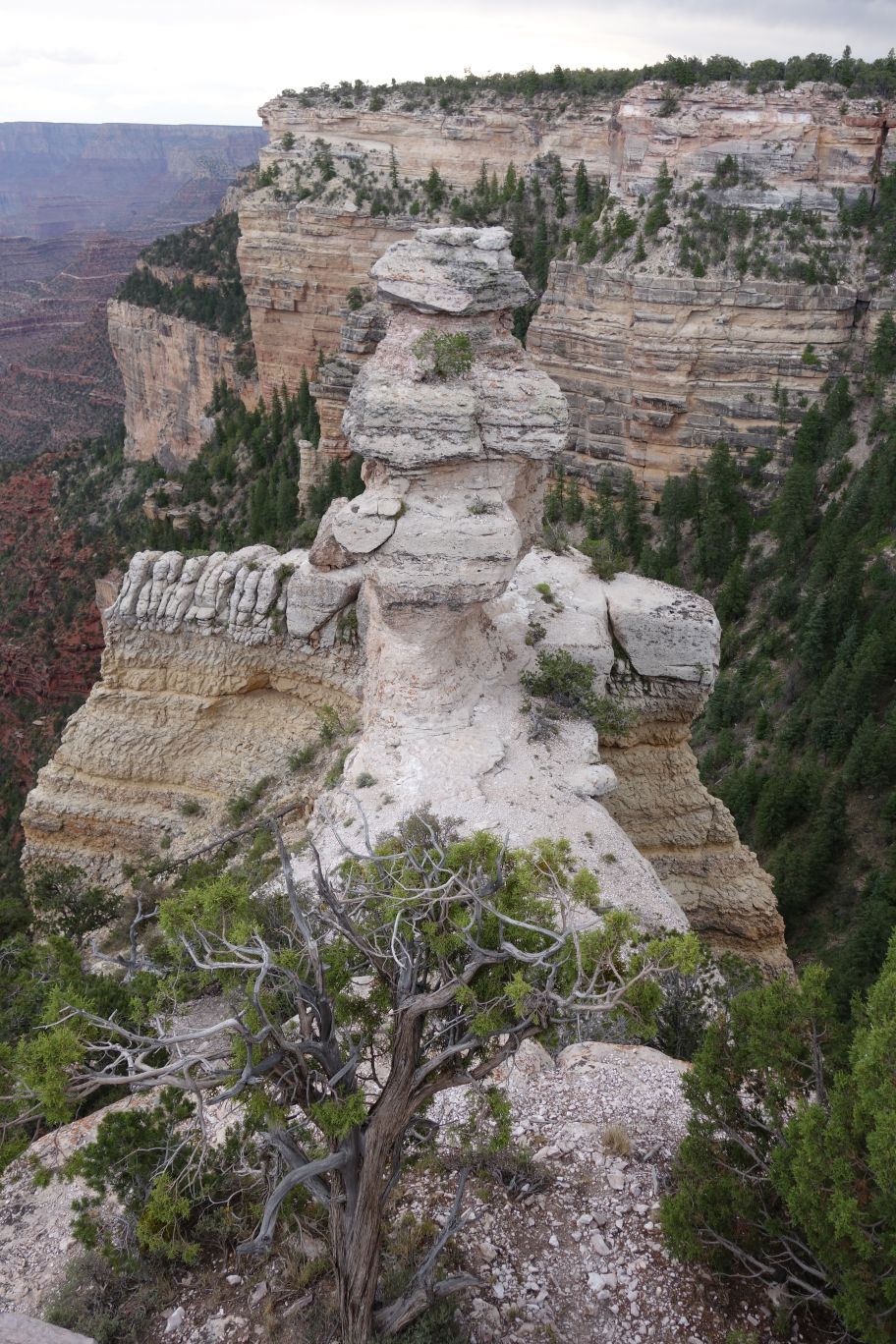
Another viewpoint. And that rock looks like we might be able to get out to it…
From the other side. There’s definitely a path…this one isn’t as easy as Moran Point was going to be.
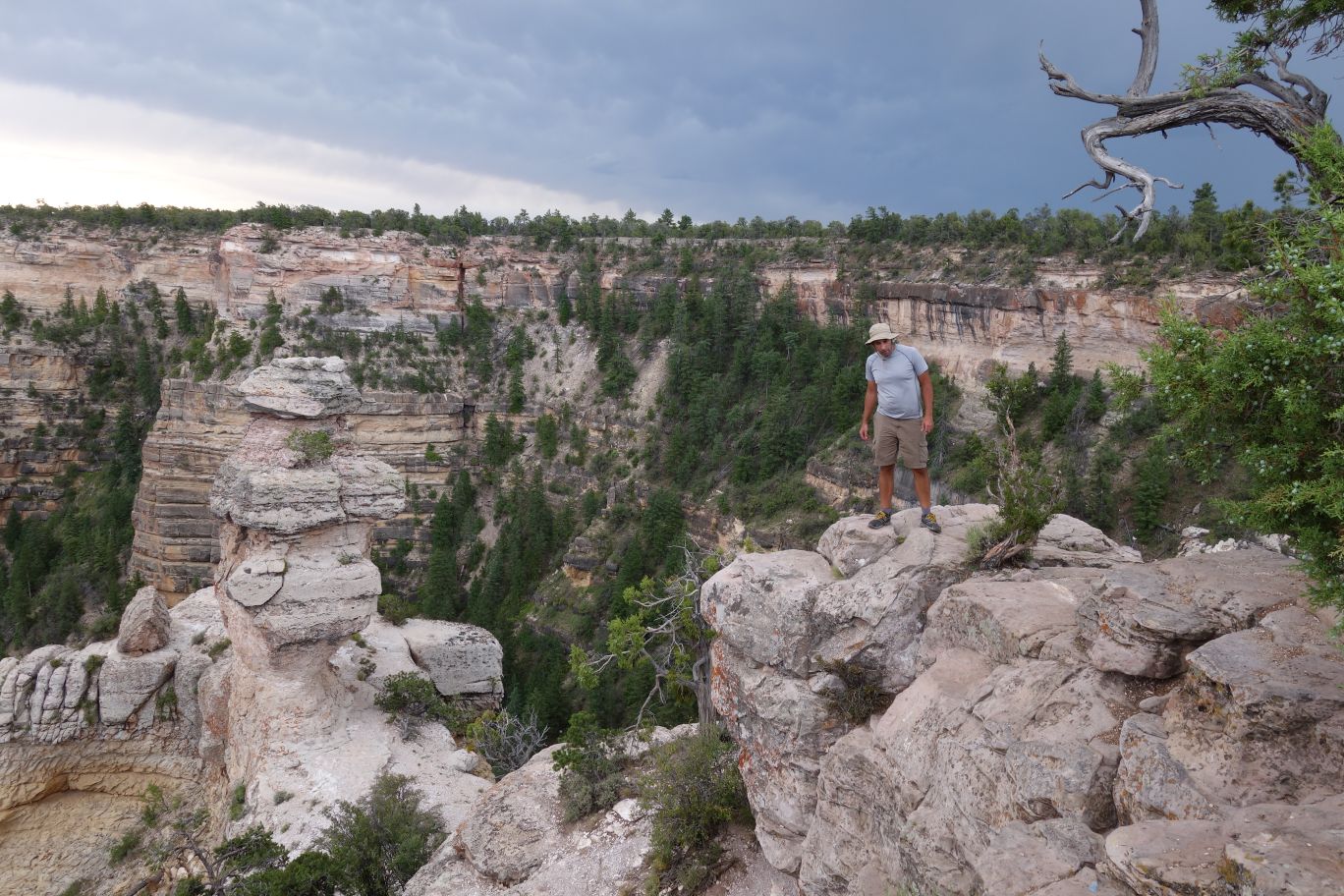
JA scouts out a way while I take pictures.
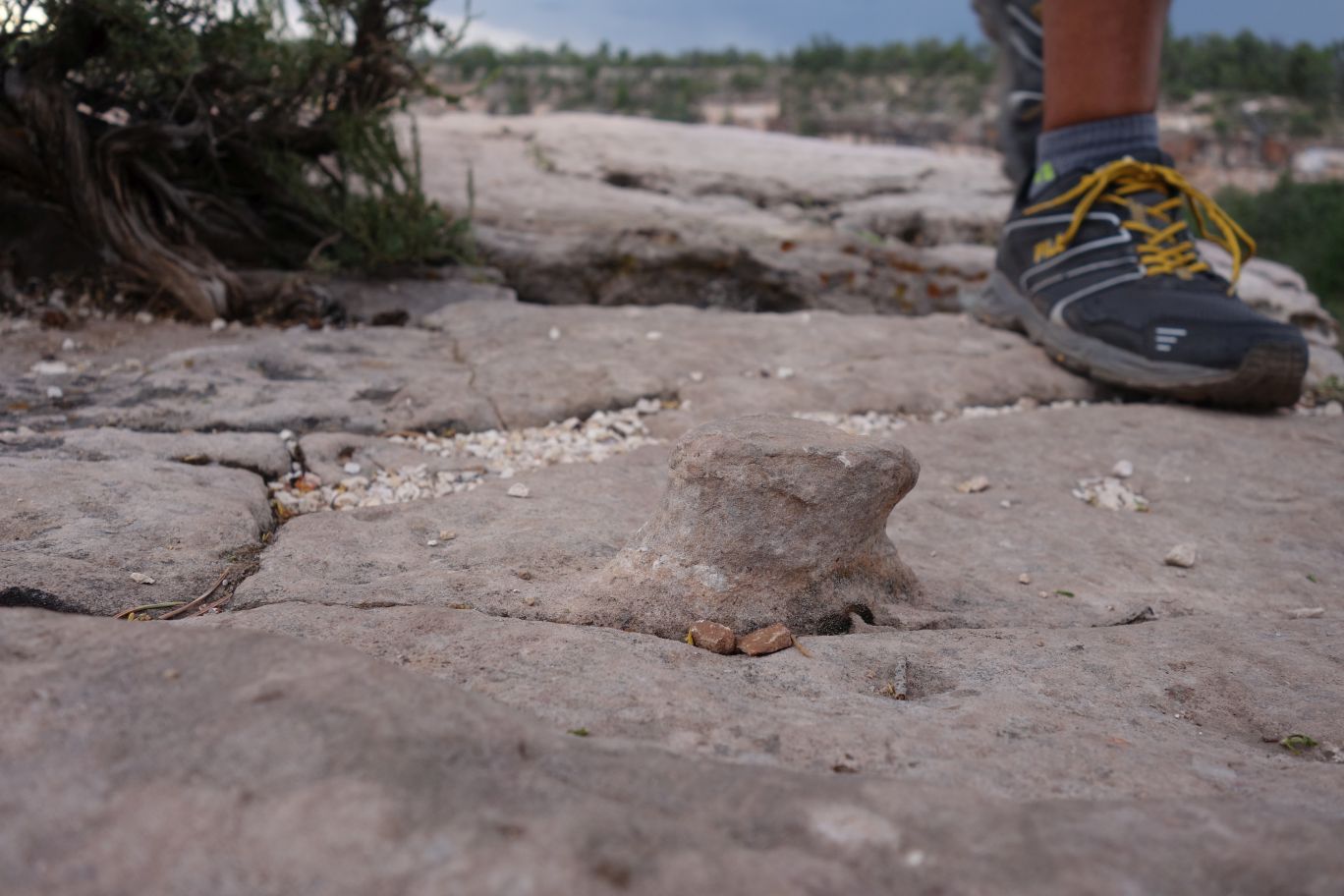
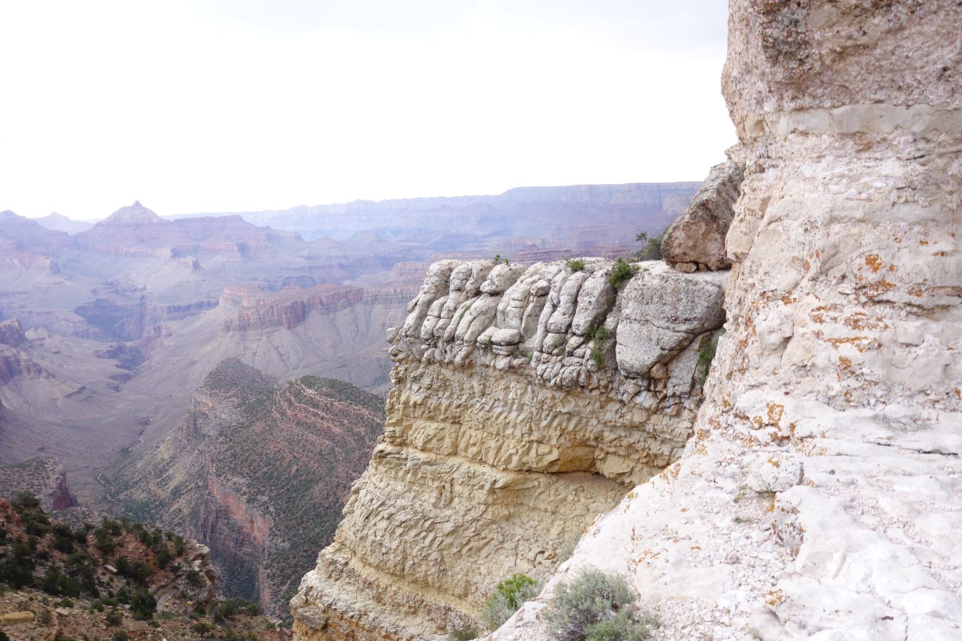
An interesting feature on this bit of rock – how the rest of the surface become flat while that little bit still manages to be shaped and upright?
I love how the rock ledge to the left looks.
Eventually JA finds us a way down – it involved a bit more climbing that before. He talked me through it a bit and it made me wish my bouldering skills were better. Something to work on back in ATX. But we dropped down without incident and wandered over to explore.
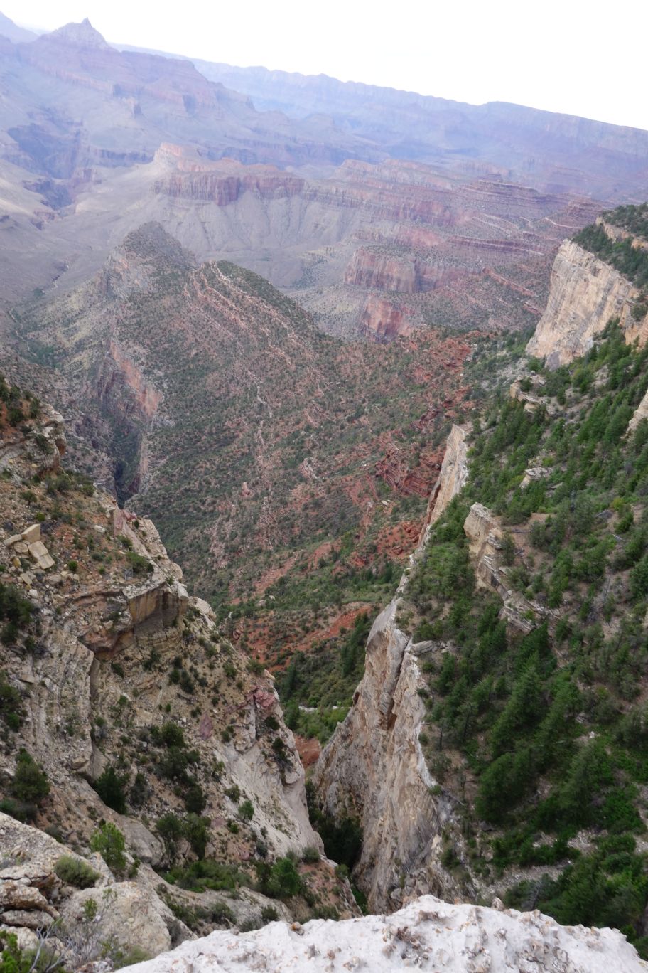
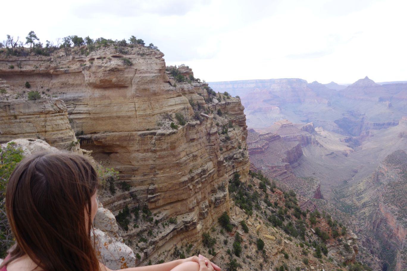
That’s a pretty steep drop.
Once again, we’re by ourselves over here. It’s peaceful, a bit windy, and just simply awesome.
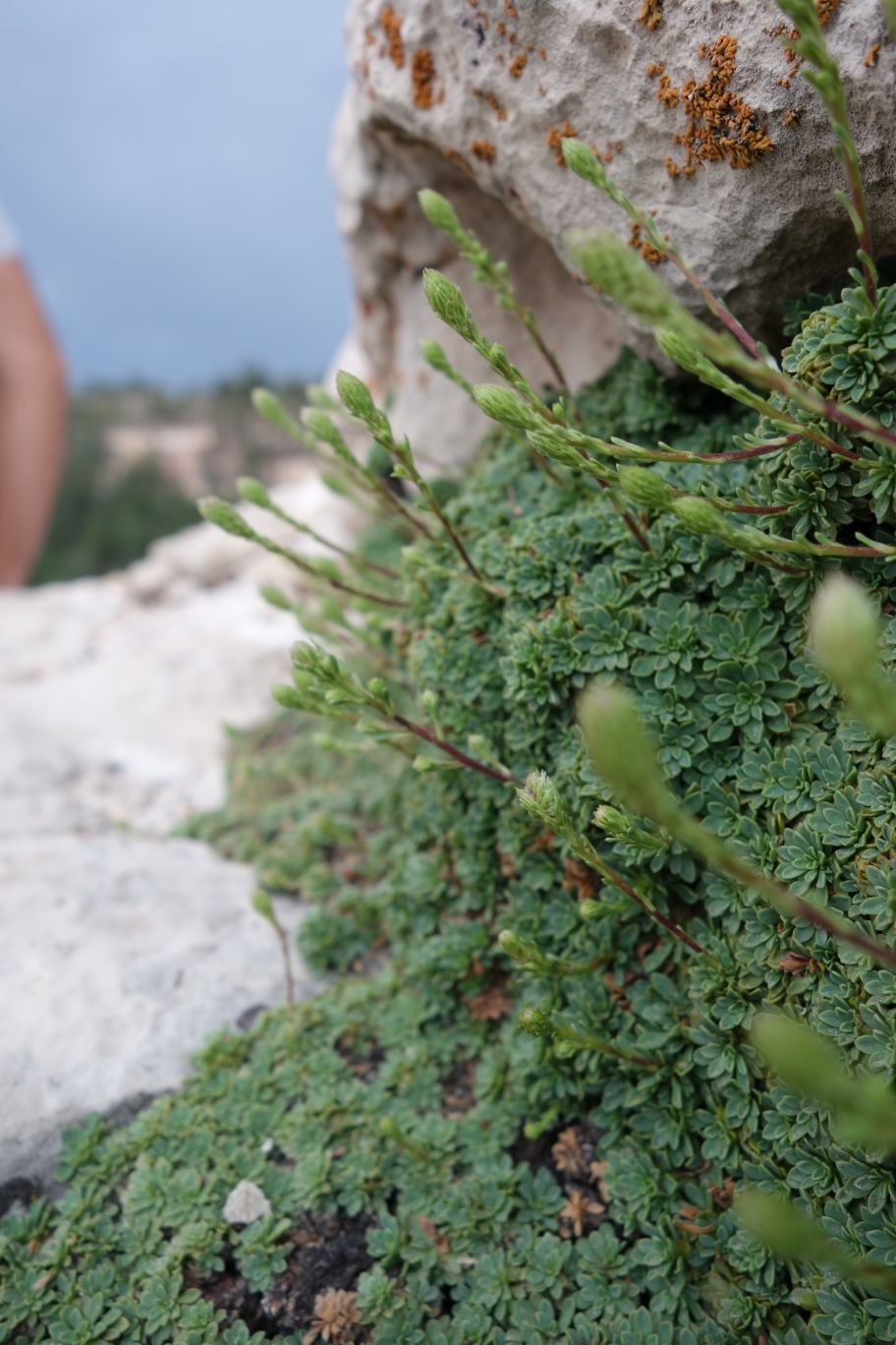
Weird little moss-ish type plants growing in the rock.
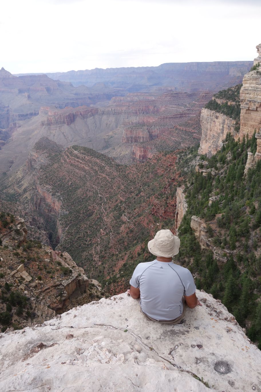
JA scoots to the edge and gives me another mild heart attack.
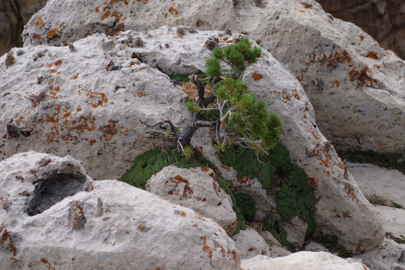
More of that moss-ish plant and a little tree growing in the cracks. No idea what that tree is hanging on to – we can only see rock.
Awesome view.
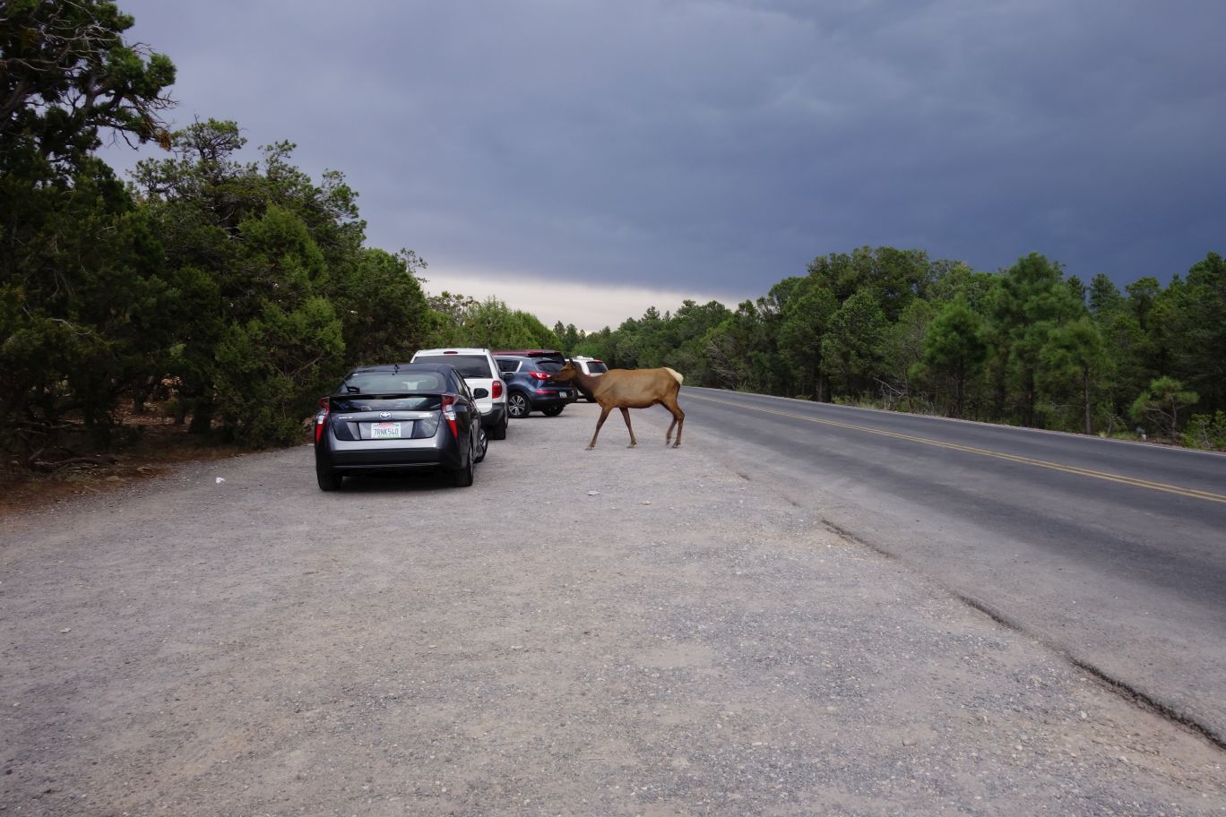
As we were leaving this area, an elk just walked across the road and into the cars, probably looking for hand outs. At this same point, a car drove off the road into this parking area to see the elk and boxed it in. Then a bunch of tourists ran towards it hoping for pictures. We decided it was time to leave because even though the elk might be pretty tame…a lot of those people were idiots and we didn’t want to see someone get hurt (or risk getting hurt as well).
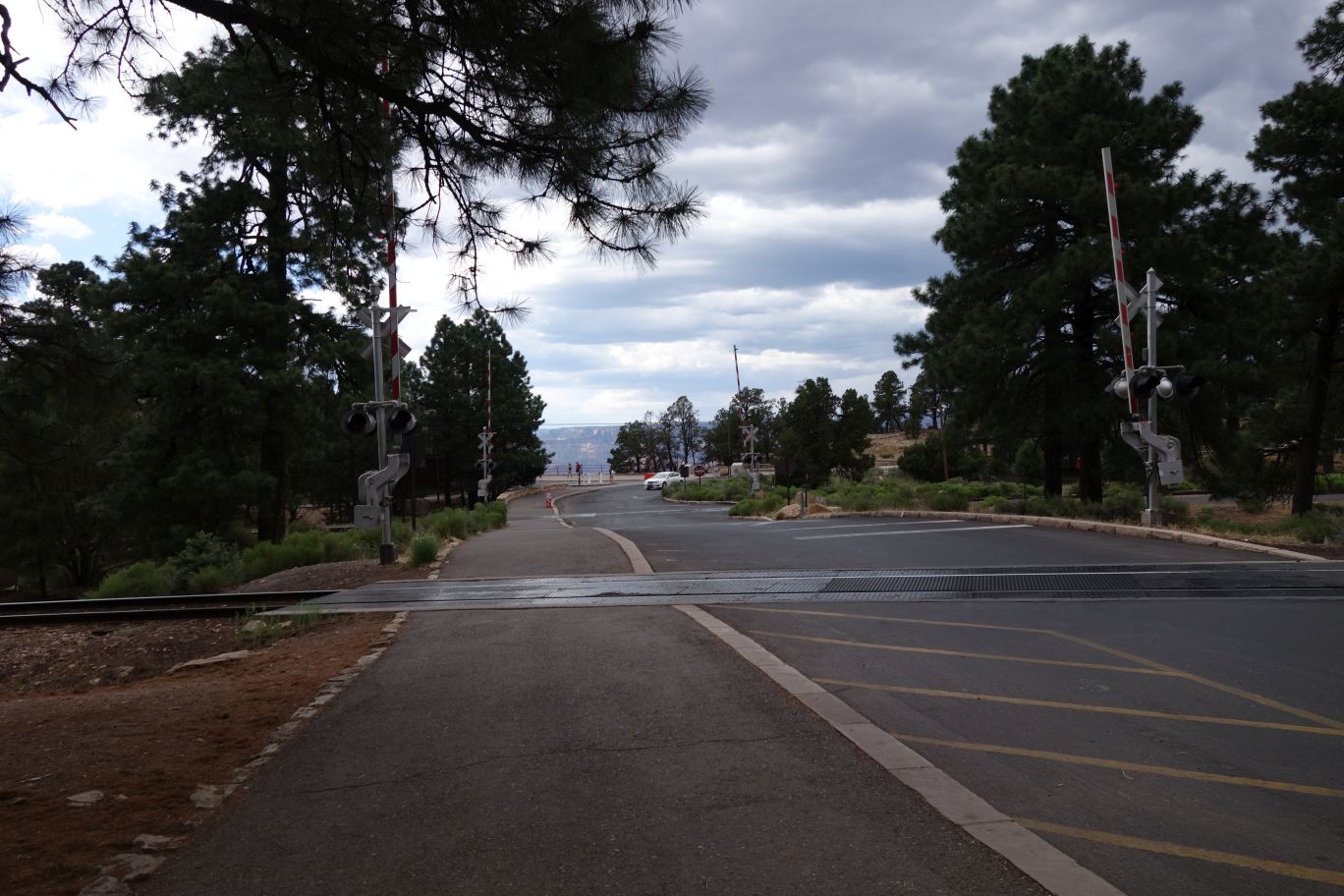
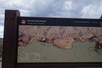
All the travel and climbing and exploring is starting to get to us; we’re a little tired but still want to see and do more since we’ve spent most of the day driving from spot to spot. On the recommendations of the lady at the visitor center, we’re going to go do part of the Hermit’s Rest Route, part of which involves getting on a bus to get to our first drop off – ‘The Abyss’. So we found parking and walked to the shuttle stop.
The Abyss.
We planned to walk along the rest of the route, to Pima Pointe – it’s supposed to be a great place to watch the sun set. It was listed as about 3 miles in length, which is perfectly easy to do. So we set out from The Abyss.
The path literally follows the rim of the canyon.
As in, there’s only a couple feet keeping you from toppling off into the canyon if you go off the route on the wrong side.
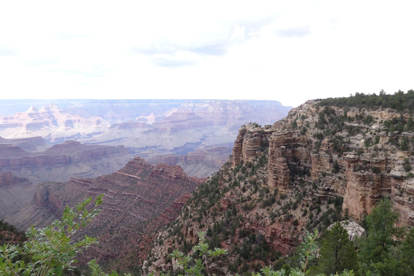
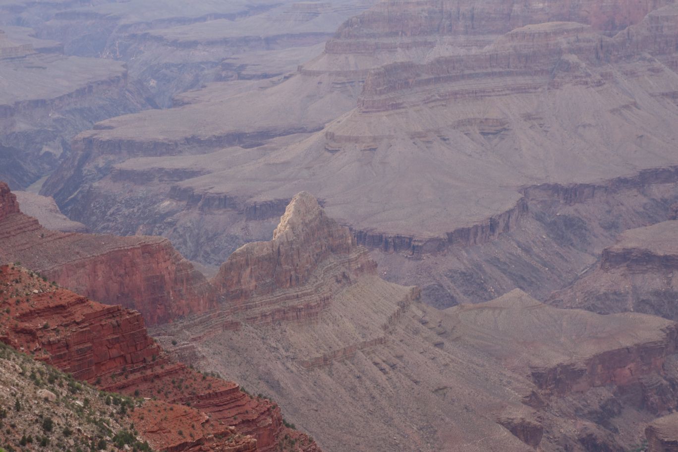
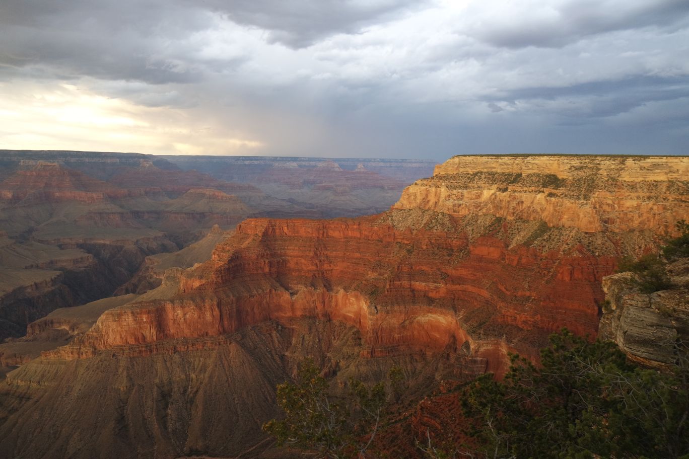
Such a cool formation. We’ve been told that the colors in the canyon change a bit when the sun is setting and we’re beginning to see that here.
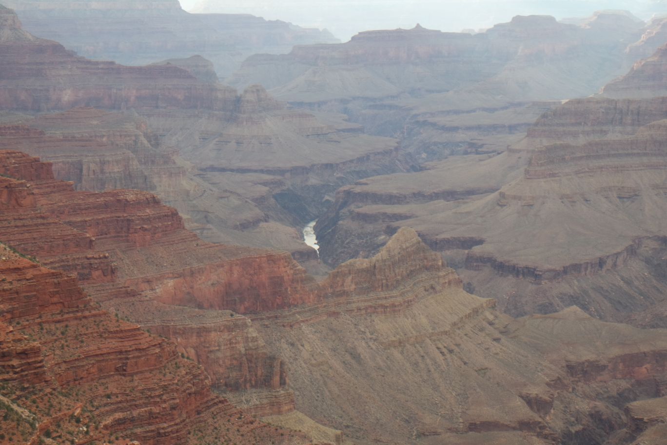
You can see a bit of the river in that below. Again, we have no context on size, distance, depth, etc. It takes hours – possibly the whole day – to hike down to that area.
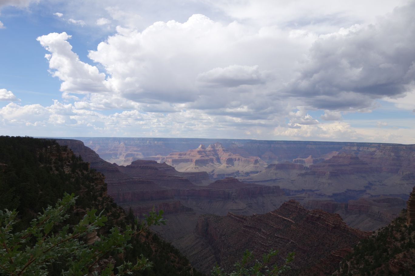
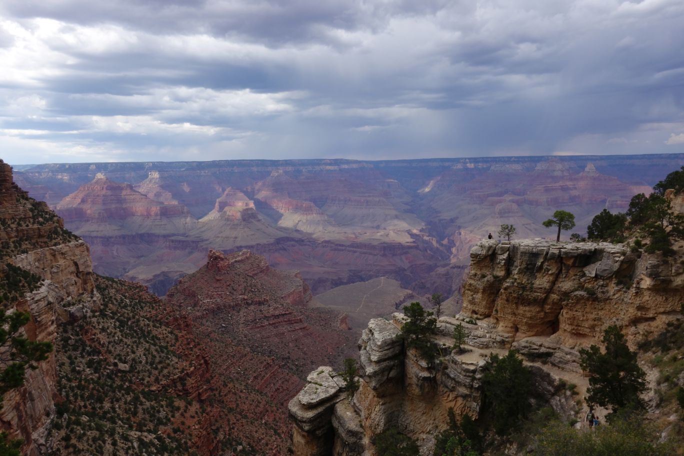
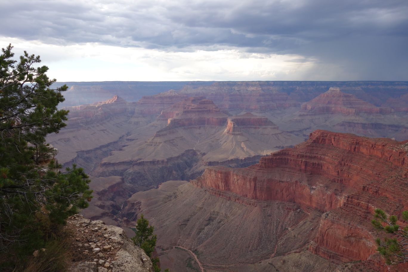
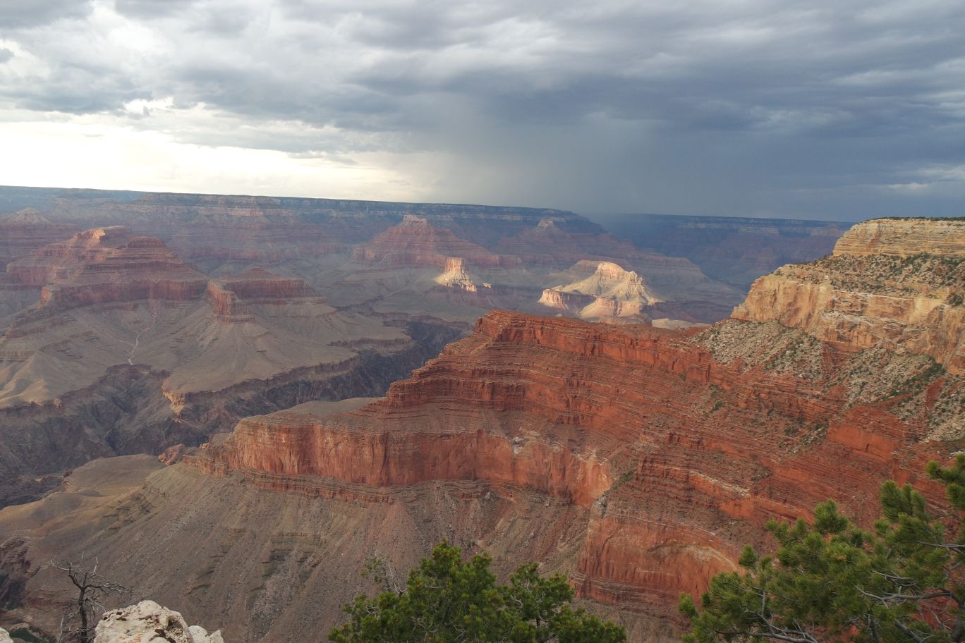
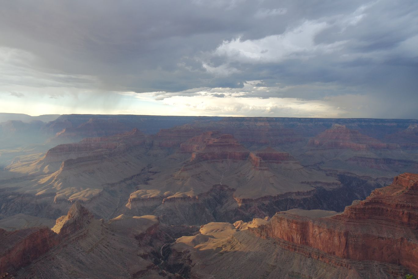
We can definitely see the colors start to come out here. And it looks like a storm is rolling in. In fact, we’ve got storm clouds all around us – this is the last bit of open sky around the canyon.
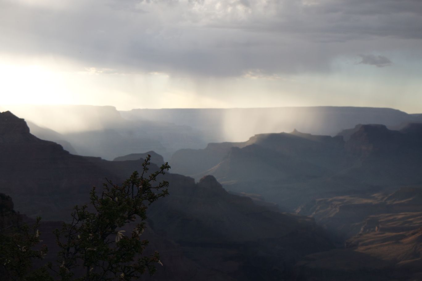
Sunlight streaming through the clouds – and rain off in the distance. If you know me at all by now, you know that I love the rain. And rain in the desert is especially amazing to me. I’m so happy I get to witness this.
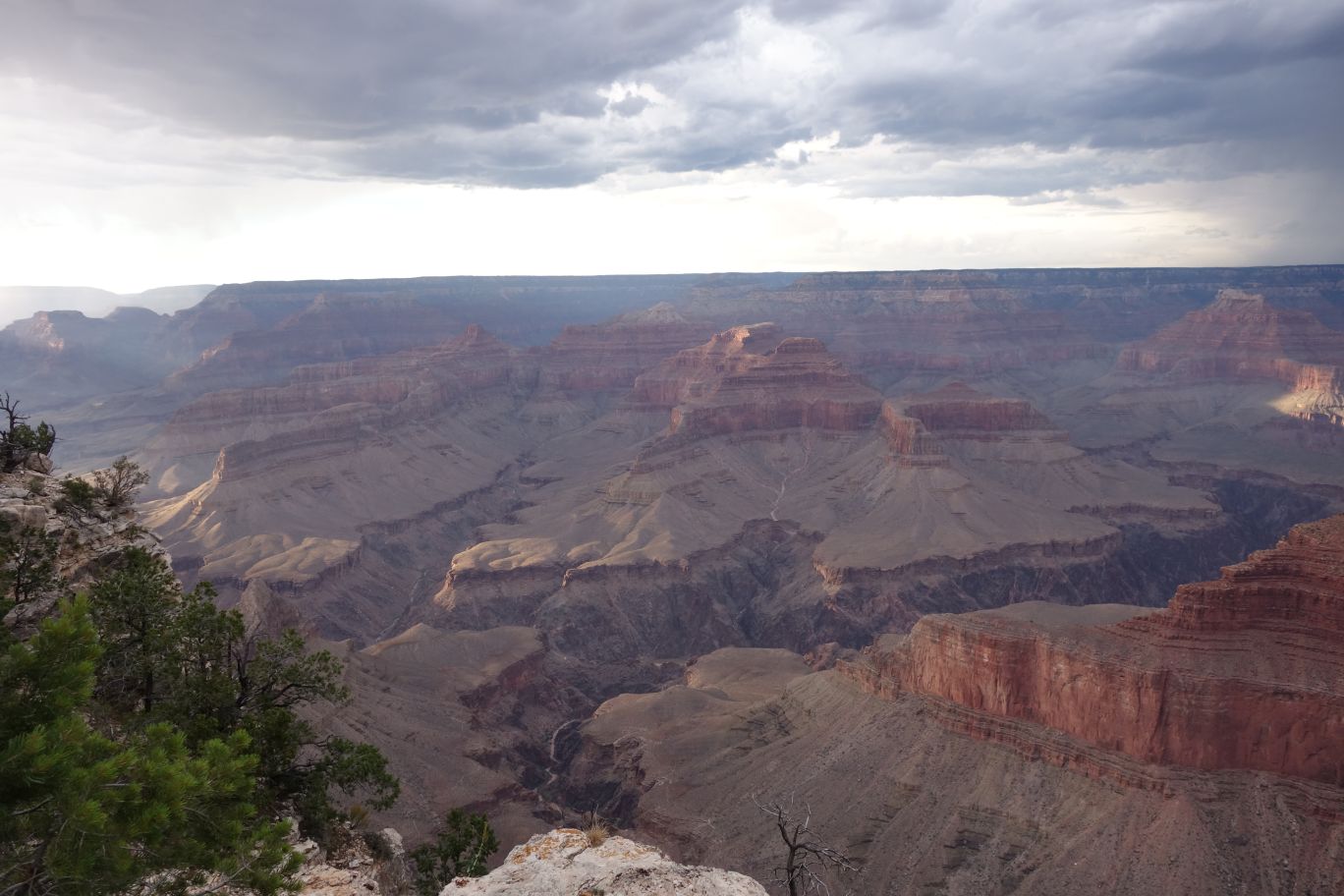
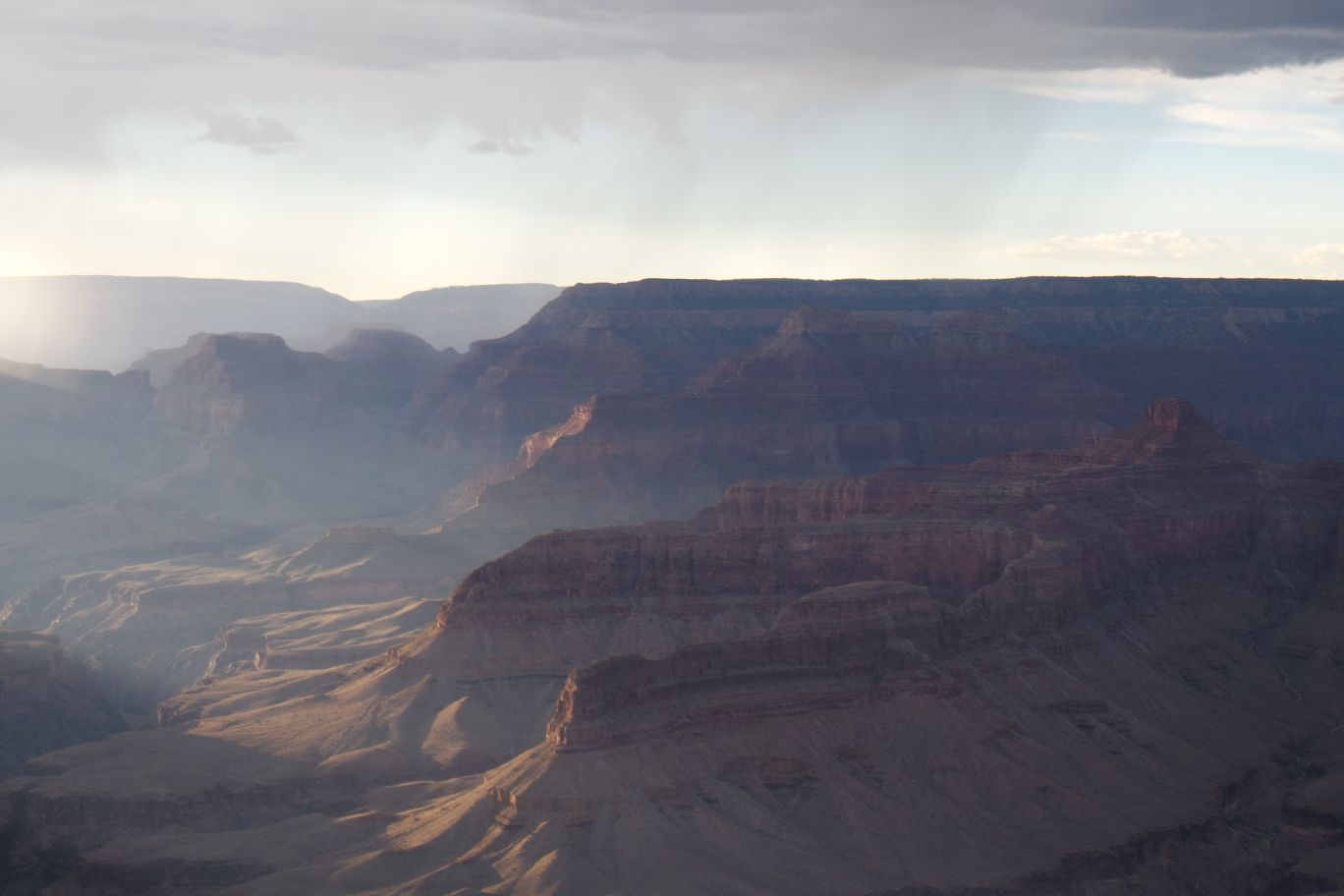
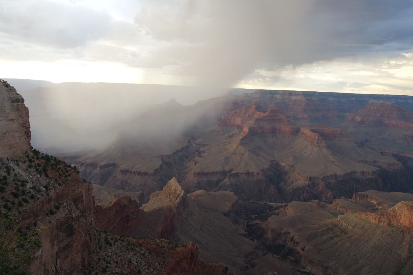
The colors are getting very vivid now. And you can see the rain off in the distance – that’s somewhere we were today. The visitor center area, maybe? I can’t tell.
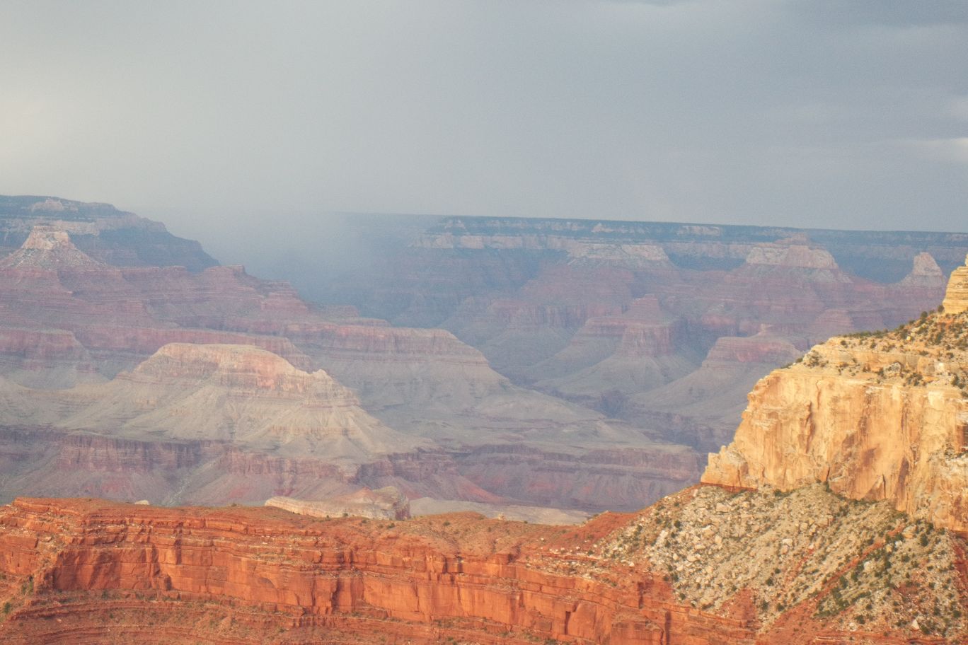
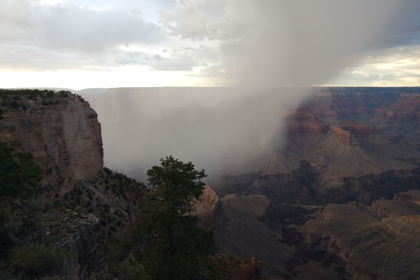
Now it’s raining on the opposite side – closer to where we’re heading. It’s so awesome that you can just see the rain sweep in like this.
Unfortunately it seems like the rain might interfere with sunset tonight…I can’t decide which I’d love to be a part of more. Desert rain in the GC or sunset? Probably rain.
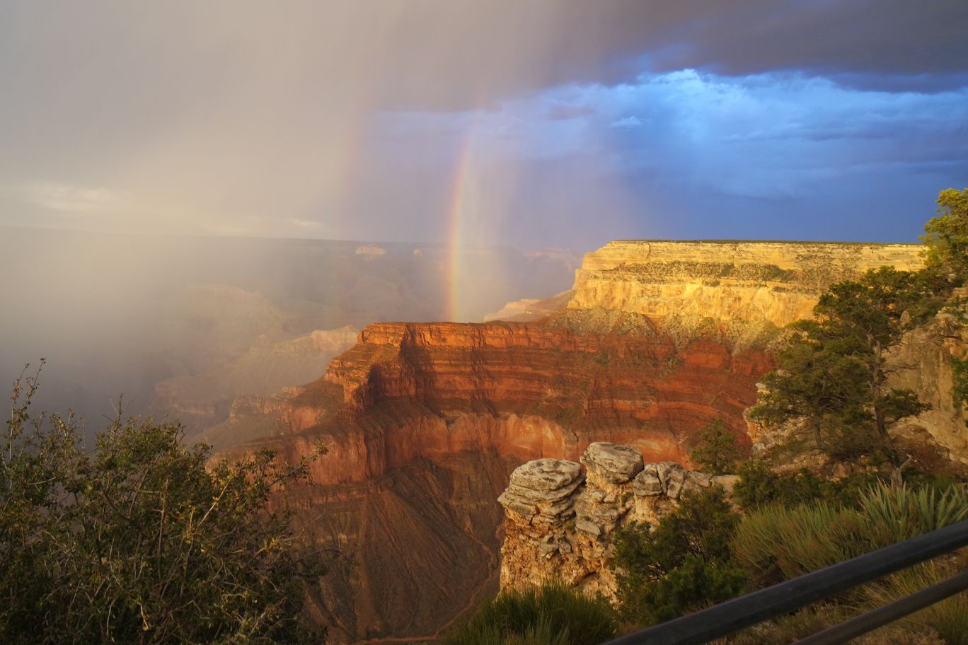
We were treated to a double rainbow at Pima Point. We got lucky – both the rain and sunset colors, plus the rainbows. That was as great an ending to this hike and day as I could possibly want. Shortly after that picture was taken, the clouds opened up on us and began to soak everything around. Thankfully the bus came soon and we were able to cram on with everyone else and get out of the wet. It took us back to the Village area and we drove back to our campsite.
Back to Grand Canyon, Day 1, Part 1 ::: On to the Grand Canyon, Day 2, Part 1

